Map Digitization

Accurate Map Digitization & Raster-to-Vector Conversion Services

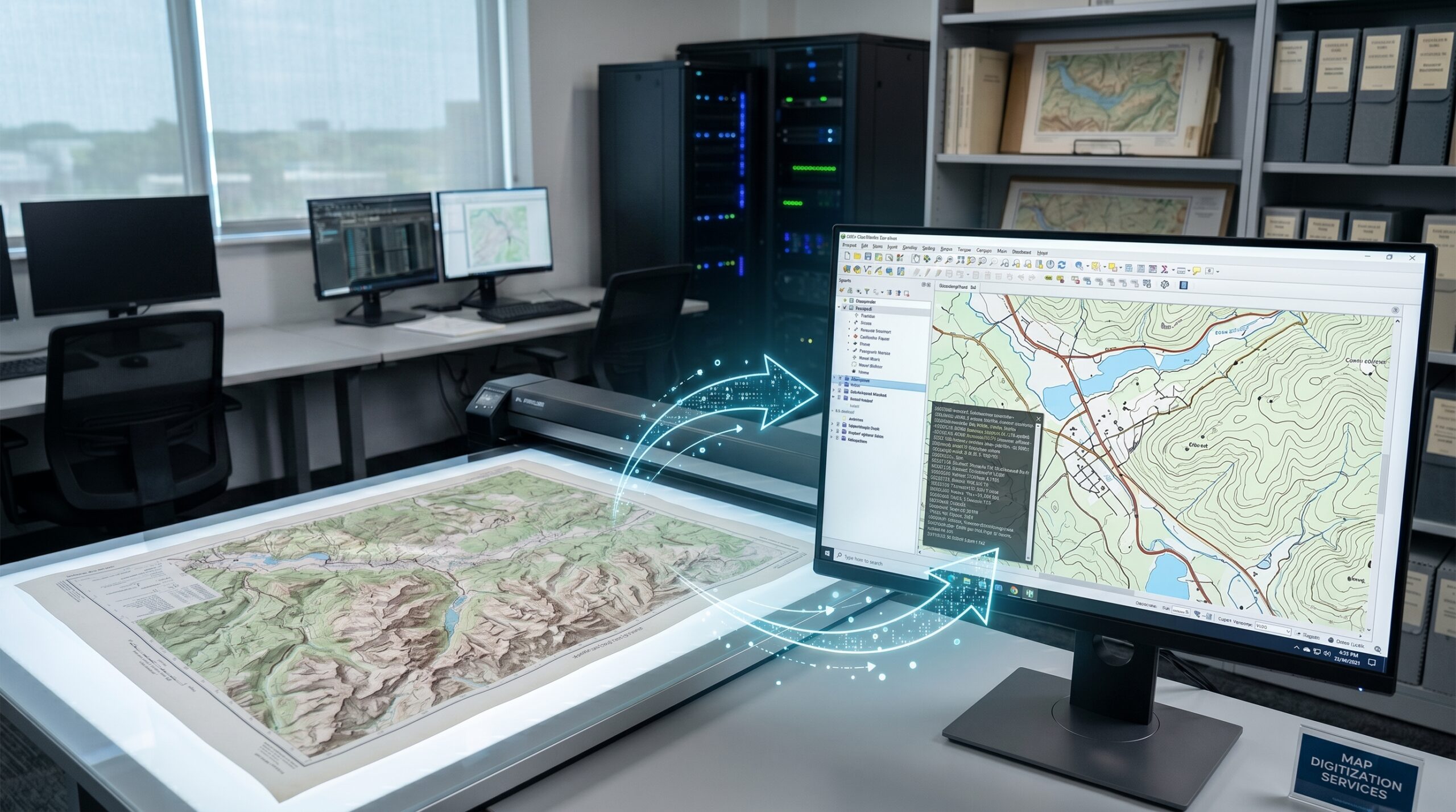
Map digitization is the process of converting analog maps, scanned images, or aerial photos into digital, vector-based data (points, lines, and polygons) for analysis.

Vector Data Types:

Points: Used for specific locations like wells, buildings, or utility poles.
Lines (Polylines): Used for linear features like roads, rivers, or contour lines.
Polygons: Used for enclosed areas like lakes, land parcels, or boundary regions.

At R2V Technologies, we provide professional Map Digitization Services for oil & gas companies, geophysical consultants, engineering firms, and geoscience organizations worldwide. Our expertise lies in converting paper maps, scanned drawings, raster images, and legacy cartographic records into accurate digital vector formats for modern analysis, mapping, and data management applications.

Map digitization is the process of converting analog maps and raster images into structured digital vector data. This enables easier storage, editing, analysis, visualization, and integration with GIS and interpretation software systems. With decades of experience in geophysical data processing and vector conversion, R2V Technologies delivers reliable, high-accuracy digitization solutions tailored to industry requirements.

Our Map Digitizing services help in areas such as Forestry, Water management, Telecom, Power Distribution, Gas and Oil pipelines, Agriculture, and Governmental schemes for development across different Provinces and regions, etc.

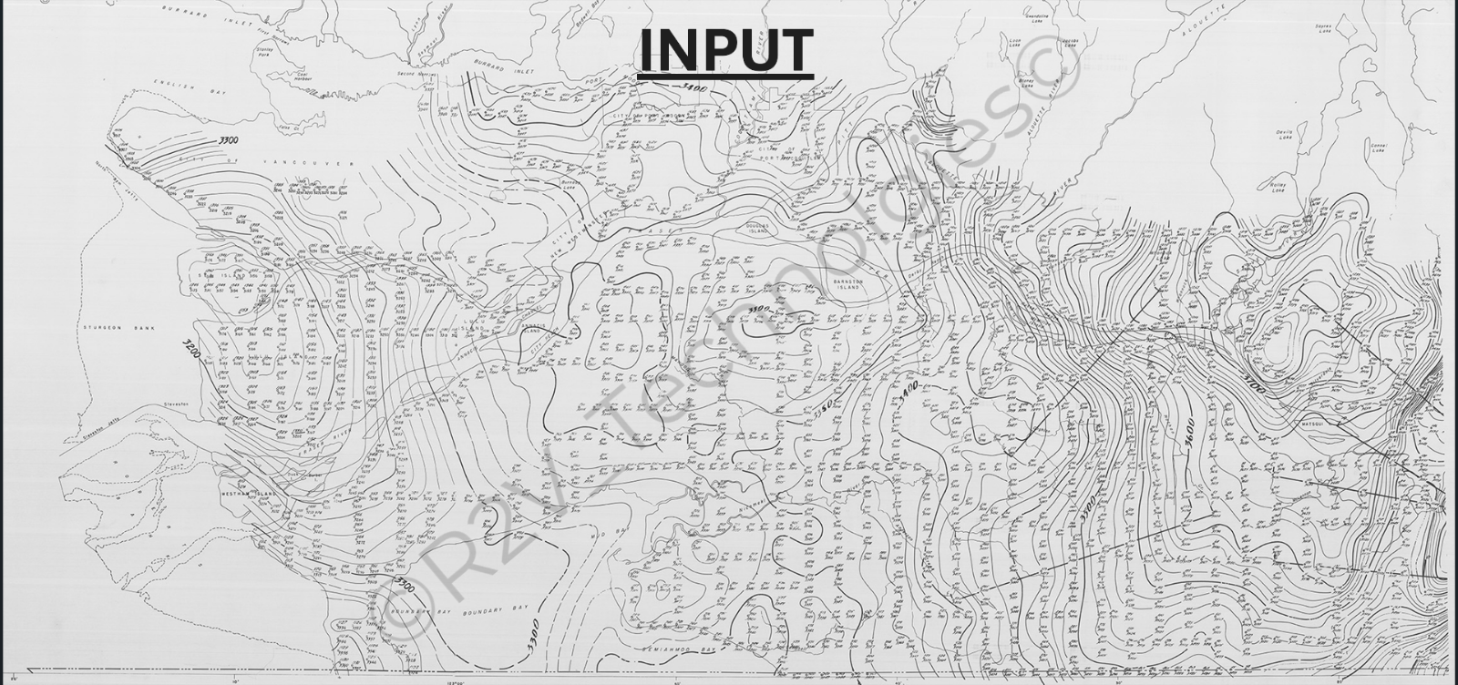
Inputs are generally accepted as Paper maps, Geo TIFF, JPEG, Grayscale and color maps .

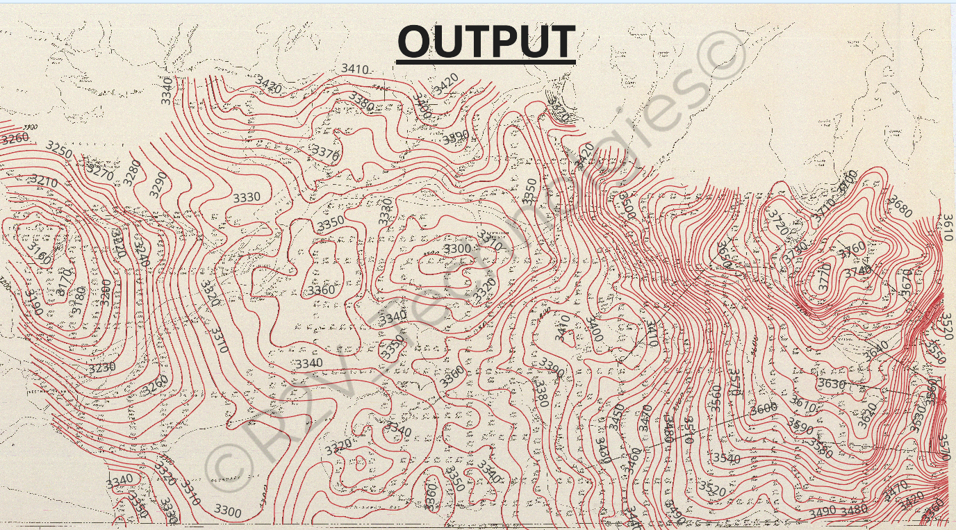
Outputs produced are in AutoCAD Formats, ASCII Files, and GIS-compatible vector data.
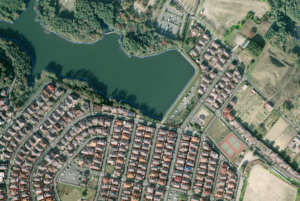
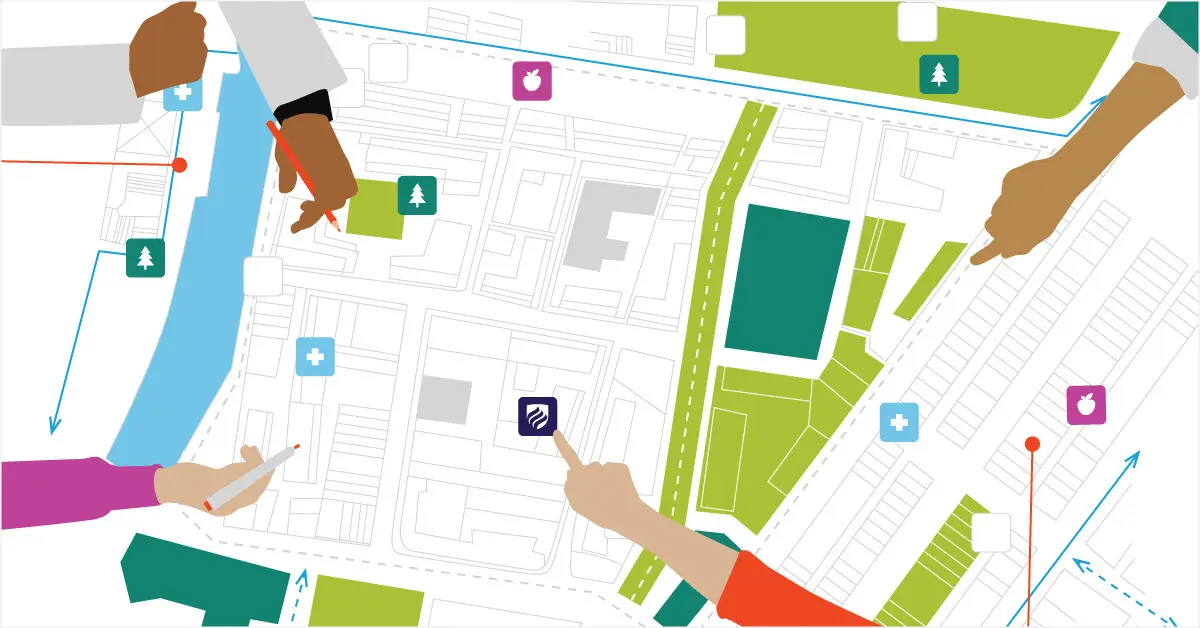
An aerial photograph of a residential neighborhood next to a lake, featuring digital mapping overlays. The perimeter of the water body is outlined with a blue line, and the individual rooftops of the houses are outlined in red, demonstrating geographic data extraction or raster-to-vector digitization. A flat vector illustration showing a top-down view of a collaborative urban planning session. Four sets of diverse hands reach in from the edges to point at and draw on a large, stylized city map. The map details building footprints, a blue river, green spaces, and roads, and is populated with colorful square icons representing community amenities like hospitals (blue with a cross), parks (green with a tree), and grocery stores (purple with an apple), representing GIS mapping and team strategy A high-tech data digitization office showing the conversion of a physical map into a digital format. In the foreground on the left, a large, wide-format scanner rests on a table, holding a physical topographic paper map of a mountainous region. On the right, a large computer monitor displays a specialized GIS software application showing the digitized version of the map with vector lines, roads, and a lake. A glowing, semi-circular blue arrow overlay with digital data particles curves from the physical map into the computer screen, symbolizing the digitization process. The background features additional computer workstations by a window, a tall server rack cabinet, and office shelving filled with organized archive boxes and framed maps.
A scanned, grayscale legacy contour map labeled 'INPUT' at the top center. The map displays a detailed geographical area—with legible labels such as City of Vancouver, Burrard Inlet, and Fraser River—covered in dense, undulating structural contour lines, spatial grids, and numerical data markers (e.g., 3200, 3400, 3600). A faint diagonal watermark reading '© R2V Technologies' is visible across the center of the map.
A vectorized and processed digital contour map labeled 'OUTPUT' at the top center. The map features crisp, highly defined red contour lines tracing elevation or structural intervals across a beige background, with clear numerical labels such as 3300, 3420, and 3600. The clean, digitized format represents the converted output of a legacy paper map, and a faint diagonal watermark reading '© R2V Technologies' is visible across the center